Minerva GIS Spatial Clipping

Minerva GIS Spatial Clipping

Minerva GIS Spatial ClippingClient: Ames Laboratory

Description :
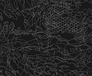
Add specialized GIS clipping capability to Minerva GIS’s libraries to permit regions of interest to be selected and clipped against a large database of landcover polygons to generate data and summaries for further analysis.


Minerva GIS Spatial Clipping
Scroll to top

connect

Have a difficult problem that needs solving? Talk to us! Fill out the information below and we'll call you as soon as possible.

Diagram of satellite communications around the Earth