Custom osgEarth Software Development Consulting

osgEarth (OpenSceneGraph Earth) is one of the most powerful GIS-enabled terrain rendering toolkits available today, and it’s F/OSS (Free/Open Source Software) under the LGPL License with static linked permitted. It’s extremely easy to adopt and integrate into your 3D graphics application, and provides functionality similar to Google Earth™ or ArcGIS Earth™ but in platform-native C++ on Windows, Linux and MacOS. osgEarth is a rapid way to add full 3d global geospatial viewing and interaction of data into any new or existing native-code application.
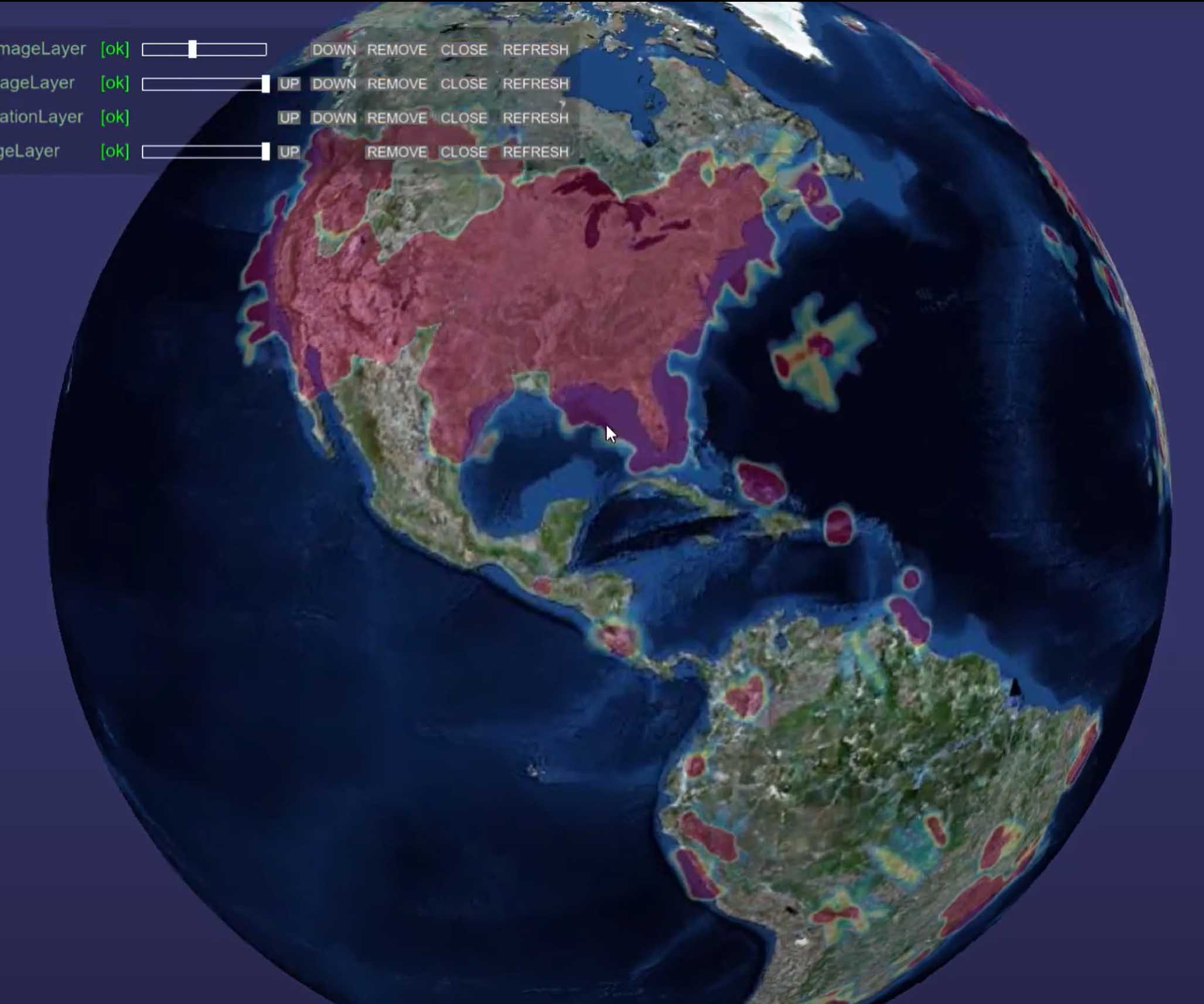
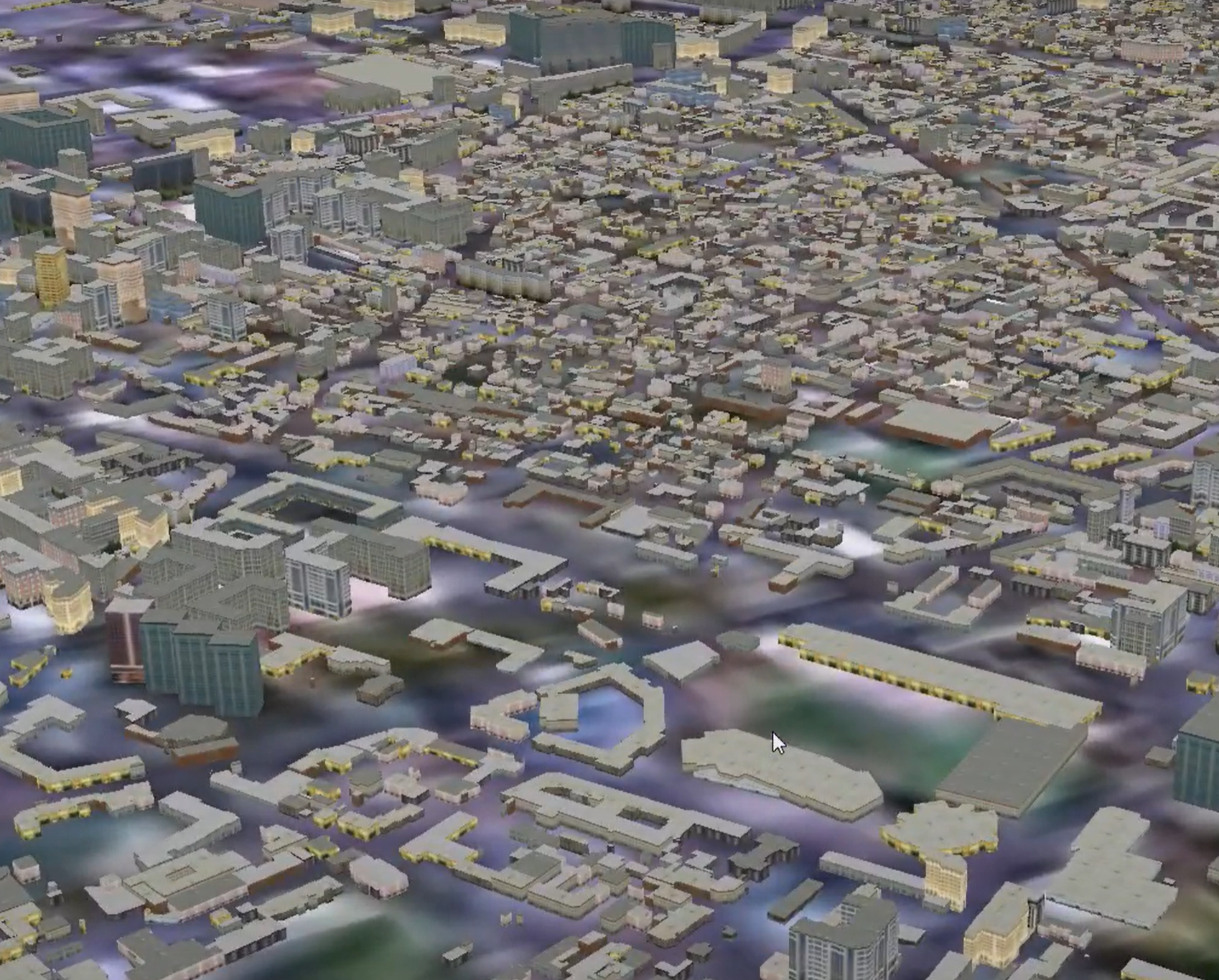
It is extremely fast and optimized, widely used, mature and stable, yet still evolving and improving. It can display buildings, airports, remote-sensed imagery, lighting, skies, even other planetary bodies. It consumes cloud-based GIS data from WMS and WFS type geodata servers and can be customized to load proprietary local and network data sources. It can render both 3D globes and 2D projected maps from the same data, simultaneously. It even integrates well with SunDog Software’s Silver Lining and Triton for added sky and water realism. It works well with on-demand paged point cloud data as well.

Because of its friendly license, it can easily be integrated into proprietary closed-source software without issues. Only changes you make to the osgEarth code itself must be contributed back to the community.
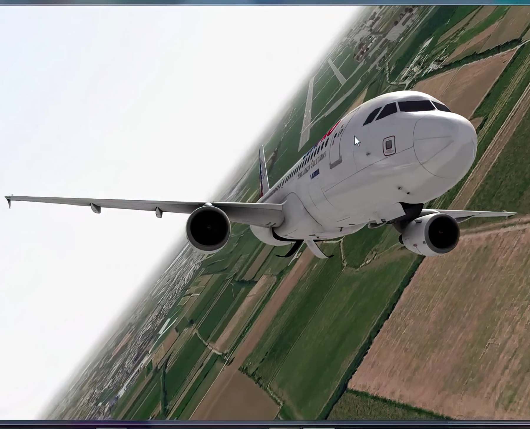
osgEarth is already integrated into multiple other toolkits like FlightGear and OpenIG for global terrain rendering in Visual Simulation and Flight Simulation environments, and has a licenseable ready-to-use terrain and imagery dataset called ReadyMap that can be served locally or networked.
AlphaPixel Development has been using osgEarth since the very beginning, and also has experience with predecessors to osgEarth like osgGIS (also from Pelican Mapping) and Virtual Planet Builder (VPB). We’ve successfully ported earlier versions of osgEarth to Android, iOS and embedded OpenGL ES platforms. We have created entirely new osgEarth applications from scratch as well as integrating osgEarth functionality into our customers’ applications, even replacing existing non-osgEarth 3D Globe rendering code.
We are experienced in creating Python wrappers for osgEarth to allow scripting of osgEarth functionality from Python. We have worked with clients around the world to integrate osgEarth into their solutions, port osgEarth to new environments, develop new data loaders and displays, and entirely new capabilities.
We have a close relationship with Pelican Mapping, creators and maintainers of osgEarth and can rapidly develop fixes and improvements that are able to be accepted into the main public development release.
Reach out to AlphaPixel today to see how we can help you with custom osgEarth Software Development.
